
This project begginning in 2021, will deliver a citizen science program that monitors the health of restored patches of native woodlands and grasslands in nature reserves in Southern ACT.
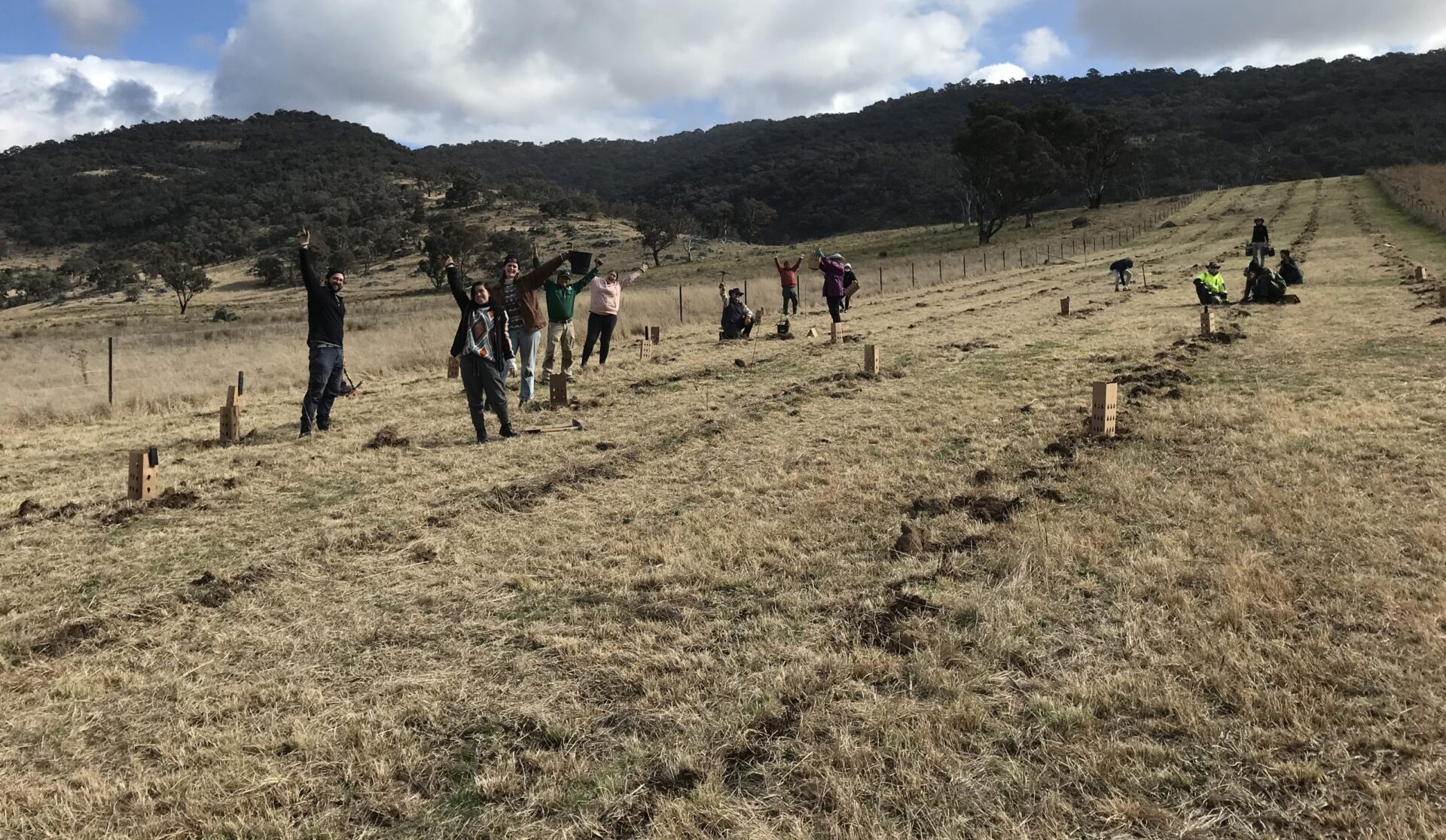
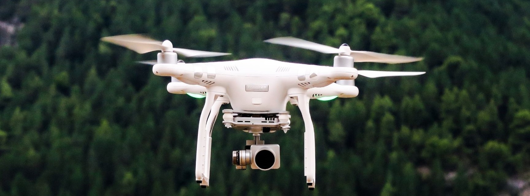
Volunteers from local Landcare groups will take aerial images using a drone with centimeter-accurate GPS resolution in two valuable ecosystems. These areas will be mapped and monitored for floral density and condition of box-gum trees, native grassland, ground cover, erosion, and weeds. On-site training in the use of equipment will take place during data collection on-site.
Project activities will provide valuable baseline ecological information whilst informing on the impacts of restoration works and engaging and educating volunteers in citizen science activities.
Project activities will be:
- On- site aerial imaging of over 30 hectares of restored woodland and grassland ecosystems on Urambi Hills and Mt Taylor. This includes the collection visual data on native floral density and condition of box-gum trees, grassland and understory density, percent of ground cover, erosion hotspots and invasive plant distribution and density. Selected sites are areas where recent revegetation, weed and/or erosion control has been undertaken.
- Facilitation of community monitoring activities.
- Training for citizen scientists whilst aerial monitoring is being undertaken. This will include how to use equipment to collect accurate and useful data for ecological monitoring of health and threats to woodlands and grasslands.
- Liaison with ACT Government and other non-government agencies to ensure broad use of collected data.
- Project administration and coordination of the citizen science program.
Aerial monitoring by local volunteer citizen scientists will:
- Provide vital spatial imagery and information on the condition of, and threats to, two valuable woodland and grassland ecosystems.
- Increase citizen science activity and skills of community groups in monitoring and use of UAV (drone) for data gathering.
- Educate the community on the state of local ecosystems to encourage their protection.
- Inform volunteers on the effectiveness of their work and assist targeting of volunteer restoration works and prioritisation of activities.
- Provide baseline data, particularly during drought conditions, to enable ecological monitoring over time.
- Provide a monitoring method that can be replicated in other local reserves with volunteer interest.
Dr Adam Carroll, from ANU, will train volunteers during their first use of the drone, he will also assist with developing operating procedures, data analysis and the platform to house collected data.
Current progress
The project is currently at the stage of purchasing the drone and the computer which will have the processing capabilities to handle the images captured. Once the drone and computer have been purchased it would be great to meet again to determine our next steps and answer any questions from the volunteers now on board. We are also collating all licensing and permission information to ensure we are operating safely and correctly.