
Who are the friends of Conder Wetlands?
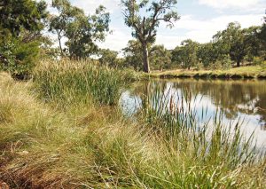
The Friends of Conder Wetlands group are an active and engaged group of local volunteers who have dedicated their time to improving and caring for the wetlands and surrounding area. The Friends of Conder Wetlands look after the site by weeding and planting native vegetation to improve the habitat and amenity of the site.
About the Wetlands
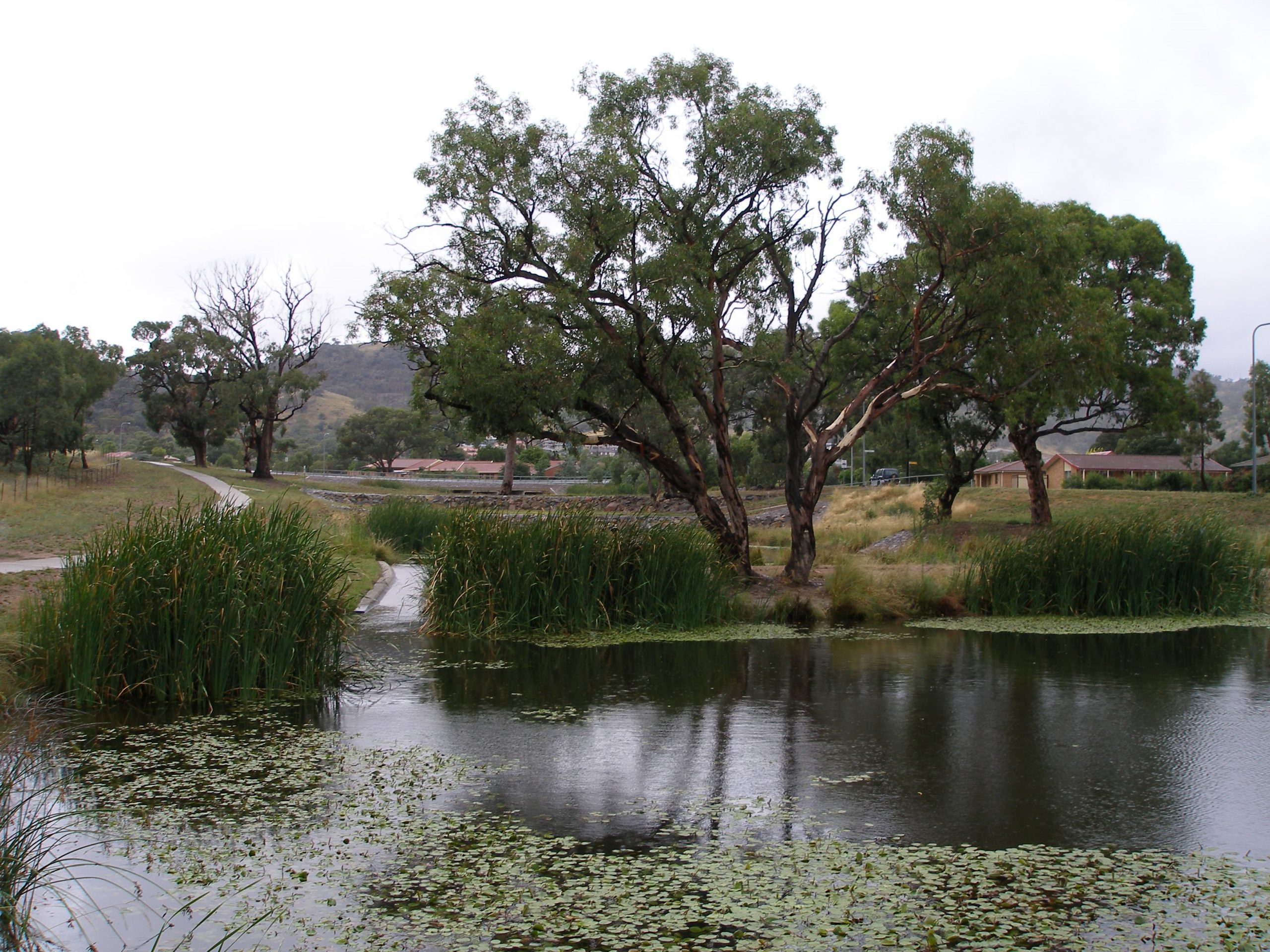
Conder Wetlands are located at the base of Tuggeranong Hill Nature Reserve in the suburb of Conder in the Southern ACT Catchment. The wetlands are a chain of three artificial ponds that were built after community and government collaboration to address erosion and water quality concerns. The water flowing into the ponds is a part of the Murrumbidgee Catchment, water from these ponds flows down through the Lanyon Valley into Point Hut Pond and then into the Murrumbidgee River.
Before European colonisation the wetlands would have existed as a chain of ponds surrounded by native reeds collecting run off from the surrounding hills, today Tuggeranong Hill and Rob Roy Nature Reserve. After the introduction of sheep and other non-native hard hoofed grazing animals, the degradation of native soils and vegetation, resulted in an increase of erosion in these lower points of the landscape. This is due to the decreased ground cover increasing the volume and velocity of runoff during rainfall, and the direct destruction of structures holding the soil in place by the hard hoofed animals seeking water in the natural collection pockets.
The suburb of Conder was developed in the 1990’s, and with urbanisation comes an increase in impervious surfaces. These surfaces are our roads, roofs, and driveways. By decreasing the amount of permeation of rainfall, the water surface flow amount increases during rainfall events. It also reduces water quality due to the collection of various pollutants along the waters journey through the suburbs.
The wetlands are an example of modern engineering structures imitating natural processes. The concreted groynes help maintain the structure of the banks with water flowing between the ponds through contracted channels. The vegetation assists in utilising nutrients, such as Nitrogen and Phosphorus, to grow as well as providing bank and soil stability.
These wetlands are a fantastic early example of community and government working together to create better urban water infrastructure to reduce the impact of our growing communities on water quality and water ways.
The Conder Wetlands are a pleasant example of how an urban managed waterway can retain much of its character, and include further elements that may not always be part of that landscape. Many of the characteristics of a ‘flood & dry’ gully have been retained but modified in the engineered landscape. The upper swampy patches have been turned into permanent pools, and there is another one in front of Lanyon High School. The gully bottoms have been given a stable cobbled base, and there are concrete and steel silt traps rather then log jambs and snags. In places the creek-line stays underground all the time.
You can check out the all the species that have been spotted in and around Conder Wetlands by using Canberra Nature Map’s Digital Field Guide
How can you get involved?
Check out the Friends of Conder Wetlands Facebook page to see how you can get involved or you can contact the group by emailing conderwetlands@gmail.com or communications@sactcg.org.au
Contact the Friends of Conder Wetlands directly

